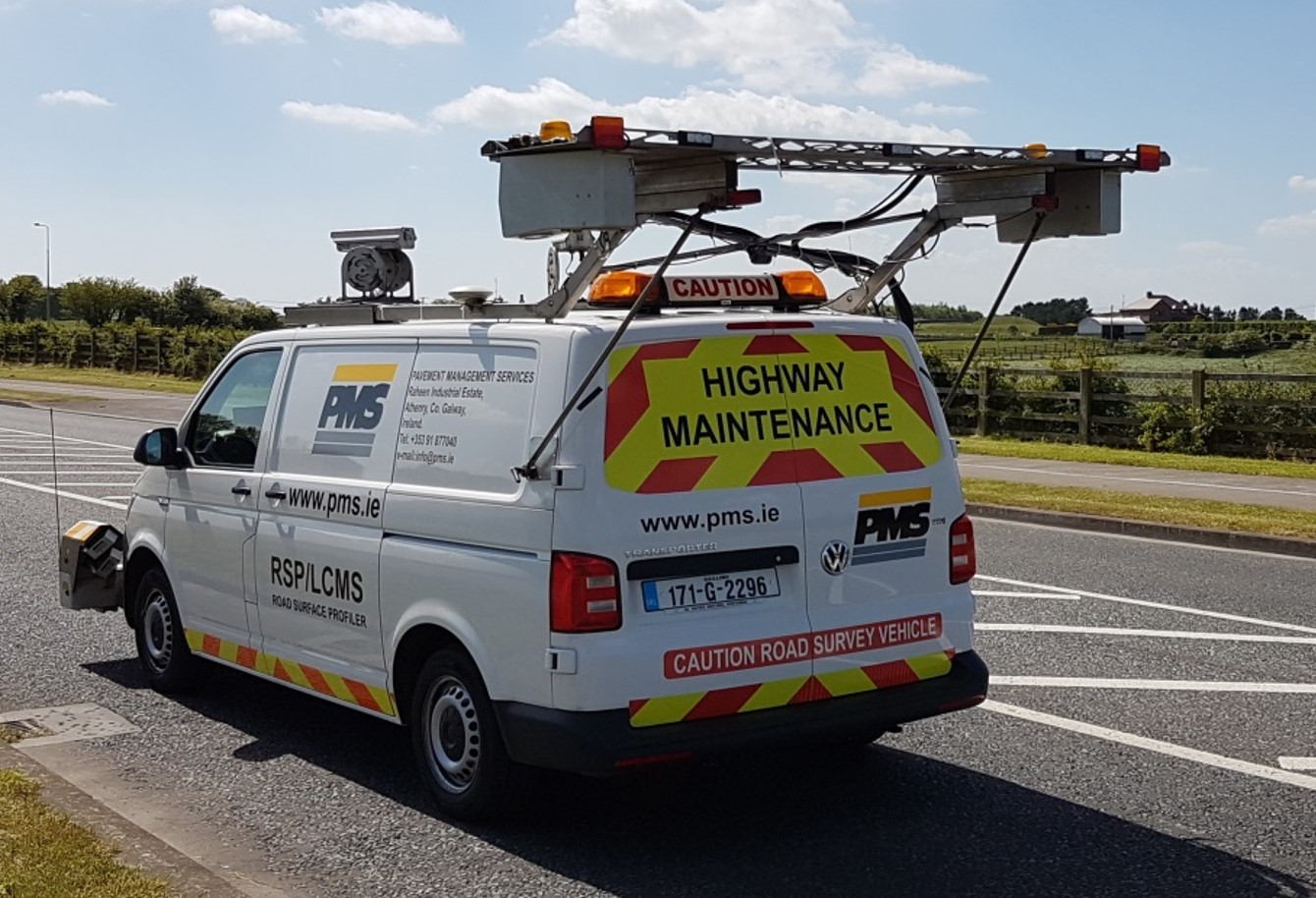
Laser Crack Measurement System (LCMS)

LCMS – High-Precision Laser Scanning for Pavement Surveys
The LCMS (Laser Crack Measurement System) is an advanced solution for automated road condition surveys. This state-of-the-art system employs laser scanning technology from Pavemetrics to generate high-resolution 3D profiles of road surfaces, providing accurate and comprehensive data for pavement management. From crack detection to identifying surface defects like potholes and rutting, the LCMS enables efficient and detailed assessments without requiring traffic disruptions.
This versatile technology is ideal for public and private entities seeking to streamline road condition surveys across extensive networks, ensuring critical data is collected at operational traffic speeds.

How the LCMS Works
LCMS operates by projecting laser pulses onto the road surface, which are then analyzed to create 3D surface profiles. The system can capture data across a 4-meter wide section of the road, detecting even the smallest surface features such as cracks as narrow as 1mm. It uses multiple onboard sensors and cameras, allowing for real-time visualization of pavement conditions while the survey vehicle is in motion.
Mounted on the roof of the survey vehicle, the LCMS system collects data efficiently at speeds up to 100 km/h, eliminating the need for traffic control measures. The system is equipped with both lane-tracking capabilities and options for night or day operation, offering flexibility to survey roads in a variety of conditions.

Key Features and Benefits
- Highly accurate laser scanning for detecting cracks as small as 1mm.
- Captures 4m wide road surface profiles with over 4,000 points per profile.
- Operates at speeds up to 100 km/h for efficient, high-speed data collection.
- Real-time visualization of road conditions, allowing for immediate data review.
- Roof-mounted for increased mobility and easier data collection on the go.
- Works in day or night conditions without the need for traffic management.
- Offers seamless integration with GPS and supplementary systems like ROW cameras.
- Non-proprietary data formats, easily exportable to Excel, GIS, or asset management systems.
- Ability to reprocess data with adjustable parameters without the need for re-surveying.
